APRIL / 2009
En Abril del 2009 emprendimos la segunda de nuestra lista de travesías soñadas.
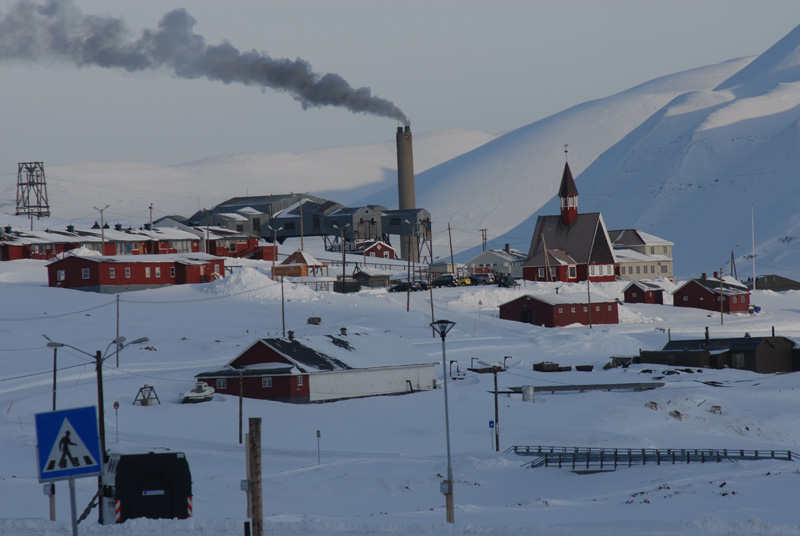
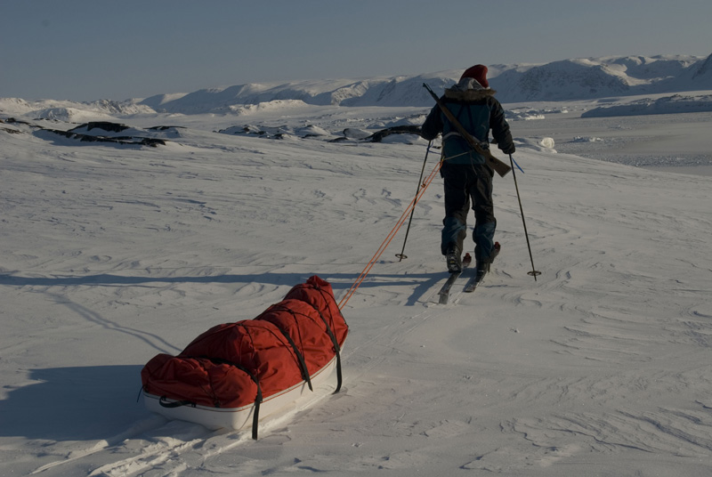
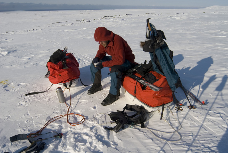
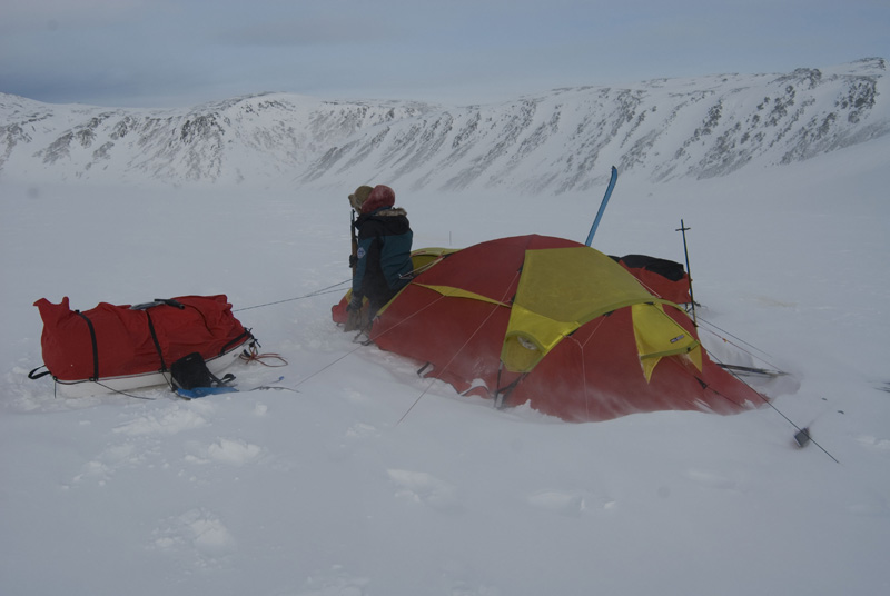
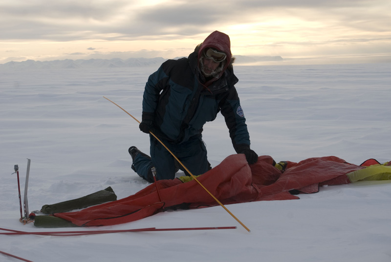
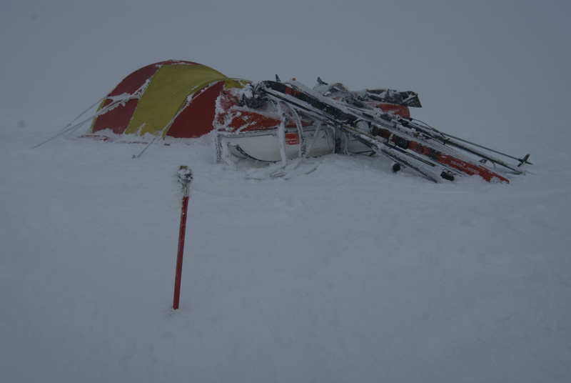
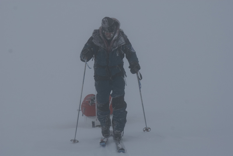
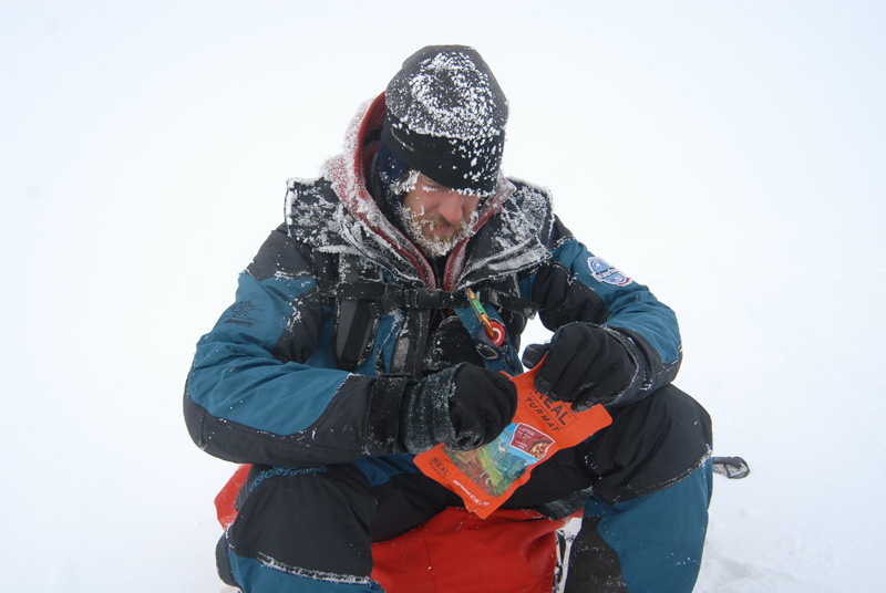
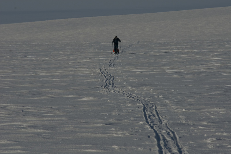
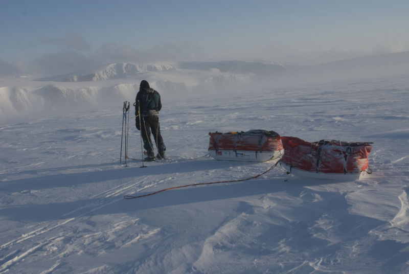
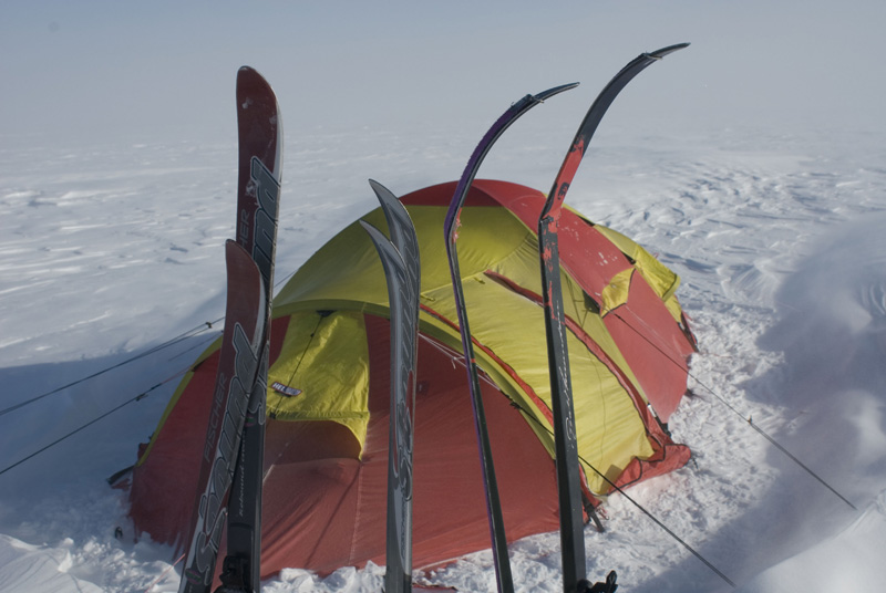
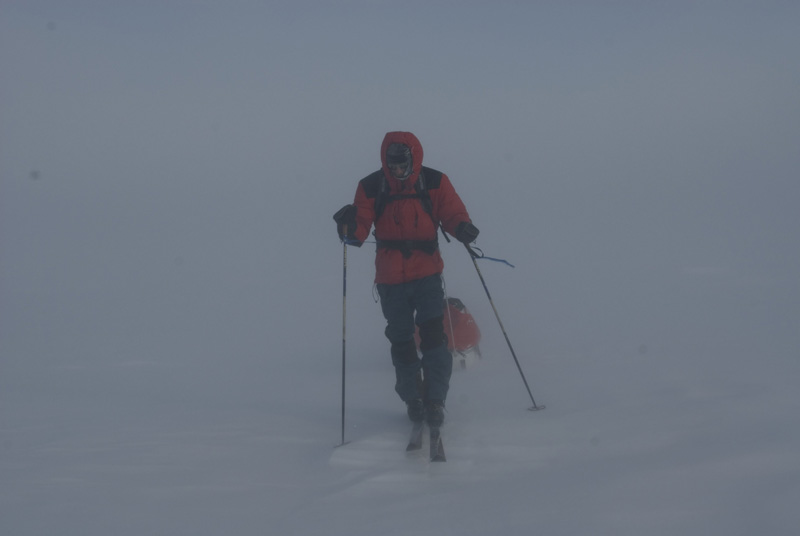
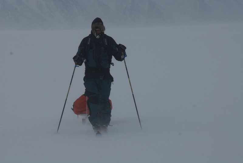
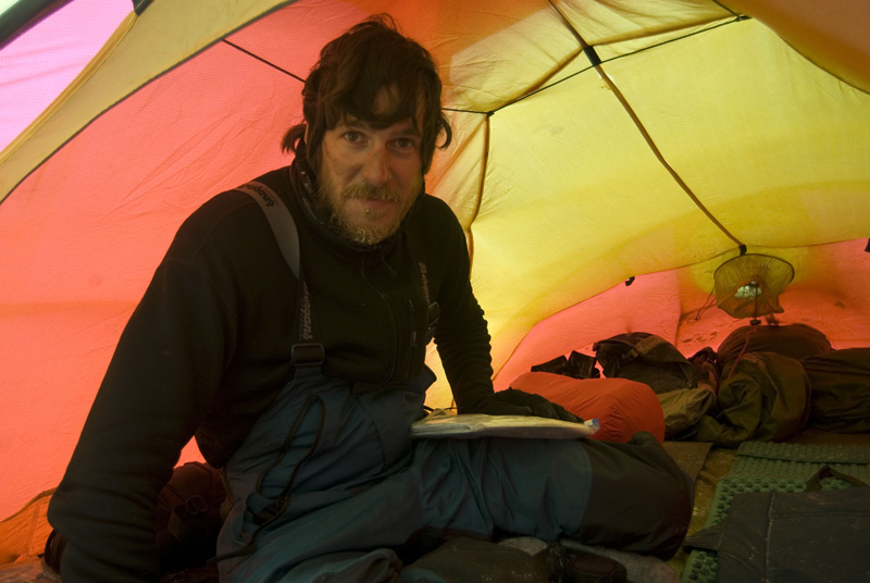
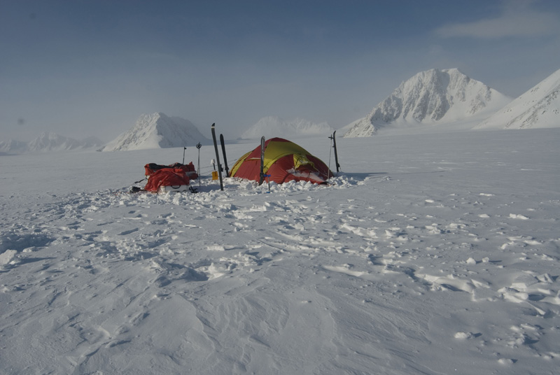
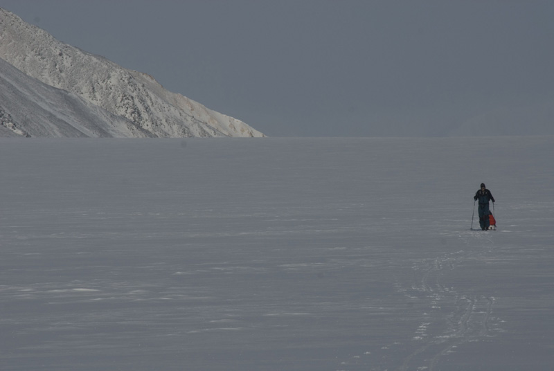
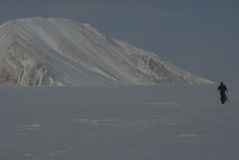
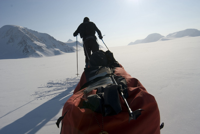
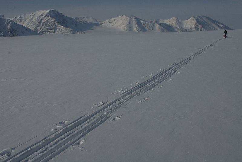
In 2009 we decided to traverse Spitsbergen Island from its northernmost point to the Southernmost point. We set off in mid April from 80º north originally having in mind a one month expedition but our journey ended sooner than expected and we had to be rescued by helicopter after 18 days on the ice.
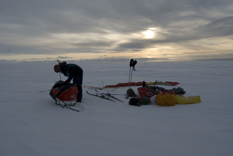
When we called Search and Rescue we were on the Atom Mountain Range close to Mount Newton the highest Peak on the island. We barely made 200 km of our itinerary when we decided to call for an evacuation. Although the expedition ended abruptly we still don’t consider this traverse a failure, in fact it was an incredible learning experience in such a hostile environment like the Arctic.
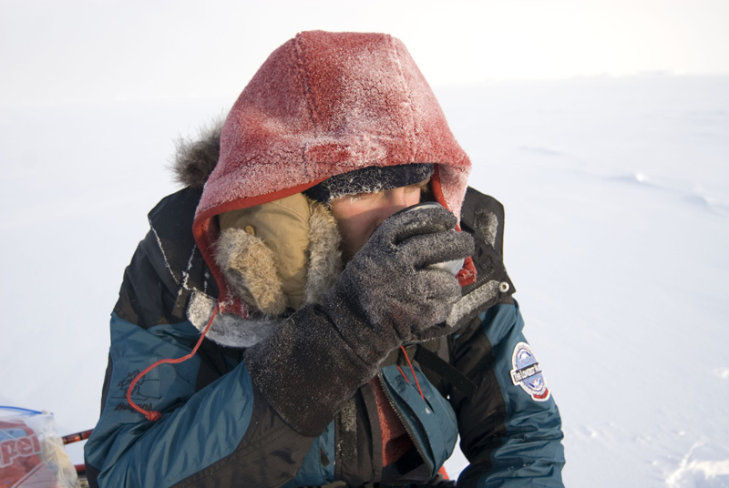
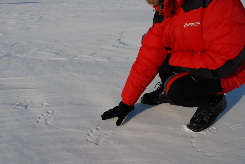
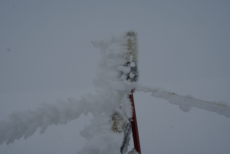
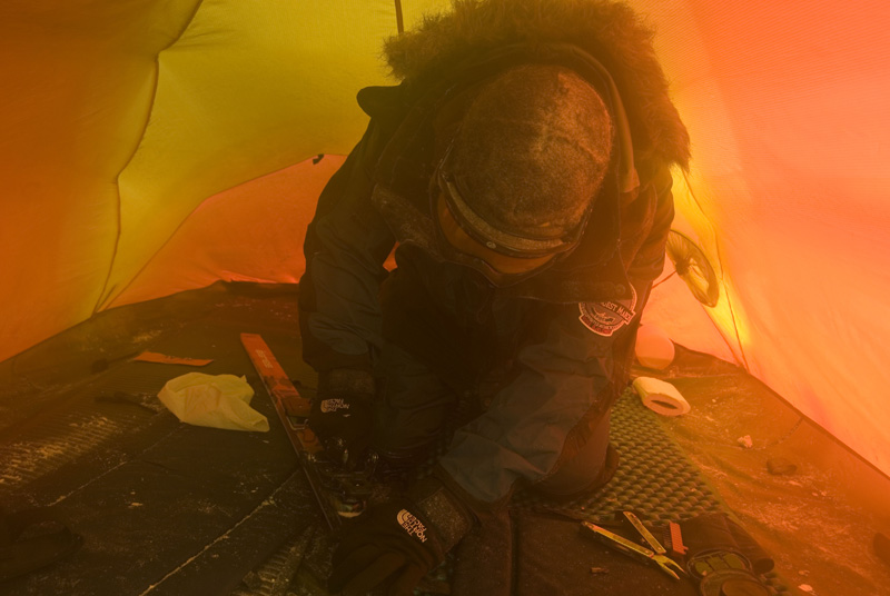
Temperatures around -40 C below, polar bears prowling around the tent and frostbite on my toes were some of the troubles that we faced during the trip. To end the journey, evacuated by helicopter with almost no food left and frostbite on my feet, was the result of a non realistic plan and we were too ambitious due to our lack of experience.
- Integrantes: José Mijares, Hilo Moreno
- Días de travesía: 17
- Días parados: 4
- Kilómetros recorridos: 200 (aprox.)
- Coordenadas de campos establecidos:
| Posición | ||
|---|---|---|
| Campo 1 | 80° 03′ 35.9″ N | 16° 14′ 35.4″ E |
| Campo 2 | 79° 59′ 420″ N | 16° 08′ 200″ E |
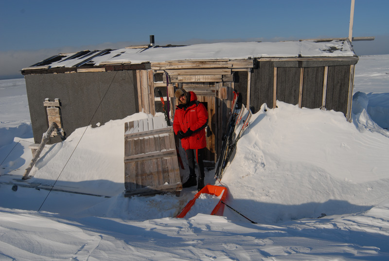
| Campo 3 (cabaña de Poheim) | 79° 53.587′ N | 16° 01.343′ E |
| Campo 4 | 79° 49.126′ N | 16° 31.734′ E |
| Campo 5 | 79° 45.501′ N | 16° 30.640′ E |
| Campo 6 | ||
| Campo 7 | ||
| Campo 8 | 79° 25.334′ N | 16° 30.688′ E |
| Campo 9 | 79° 20.555′ N | 16° 48.568′ E |
| Campo 10 | 79° 16.207′ N | 16° 46.288′ E |
| Campo 11 | 79° 15.572′ N | 17° 13.845′ E |
| Campo 12 | 79° 06.824′ N | 17° 15.156′ E |
| Campo 13 (campo base más retrasado de lo habitual para ascender el Newtontoppen y lugar de la evacuación) |
79° 01.327′ N | 17° 14.669′ E |
 EN
EN  ES
ES